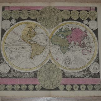
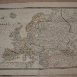
Description
- DIMENSIONS
- 39.4ʺW × 0.01ʺD × 27.56ʺH
- STYLES
- French
- FRAME TYPE
- Unframed
- PERIOD
- Mid 19th Century
- PLACE OF ORIGIN
- France
- ITEM TYPE
- Vintage, Antique or Pre-owned
- MATERIALS
- Engraving, Paper
- CONDITION
- Good Condition, Original Condition Unaltered, Some Imperfections
- COLOR
- Black
- CONDITION NOTES
- folds, cut at the bottom of the map.